
Slate Peak
Location: 48.7427973,-120.6847193
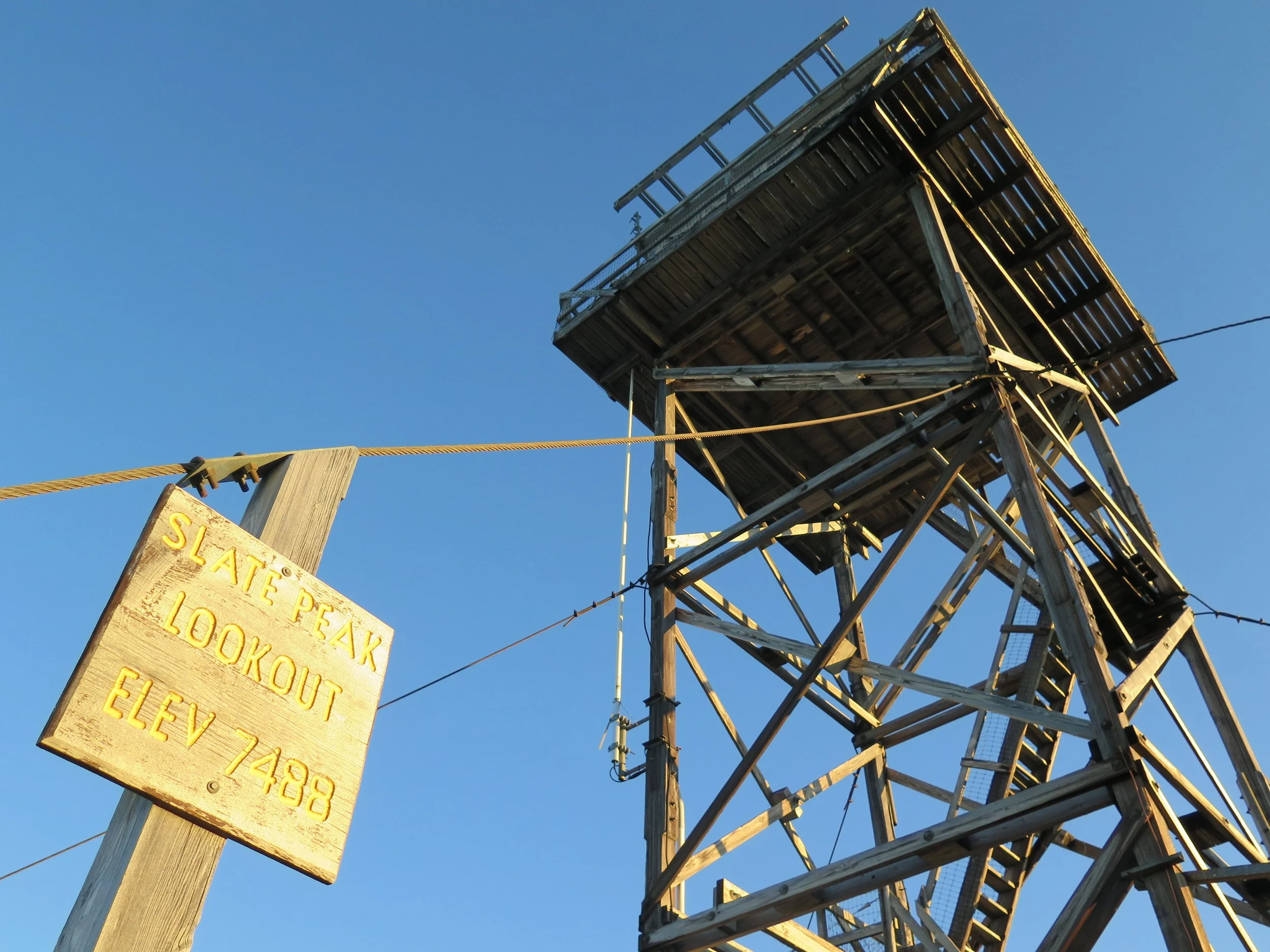
Summit Elevation: 7,440′
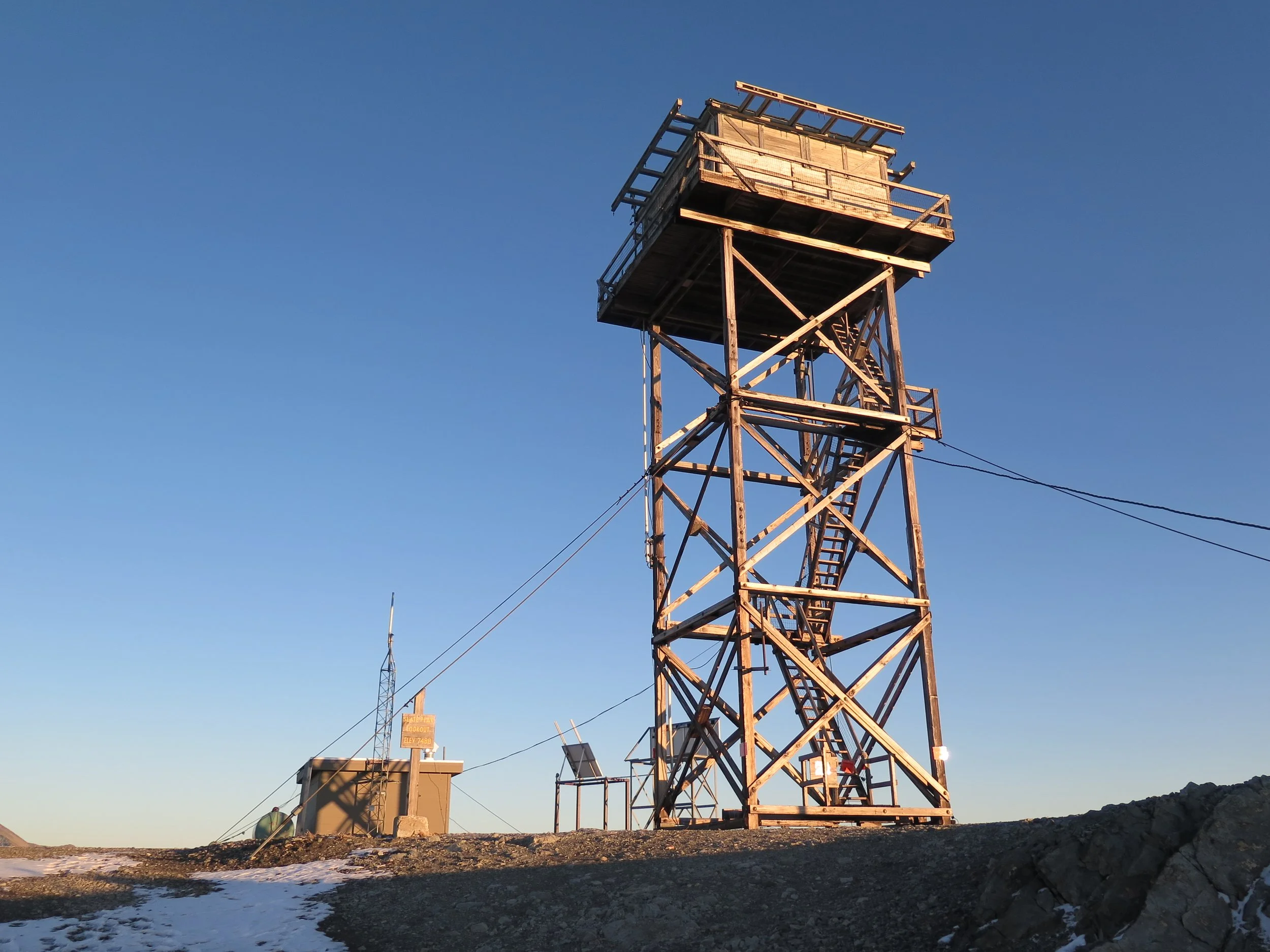
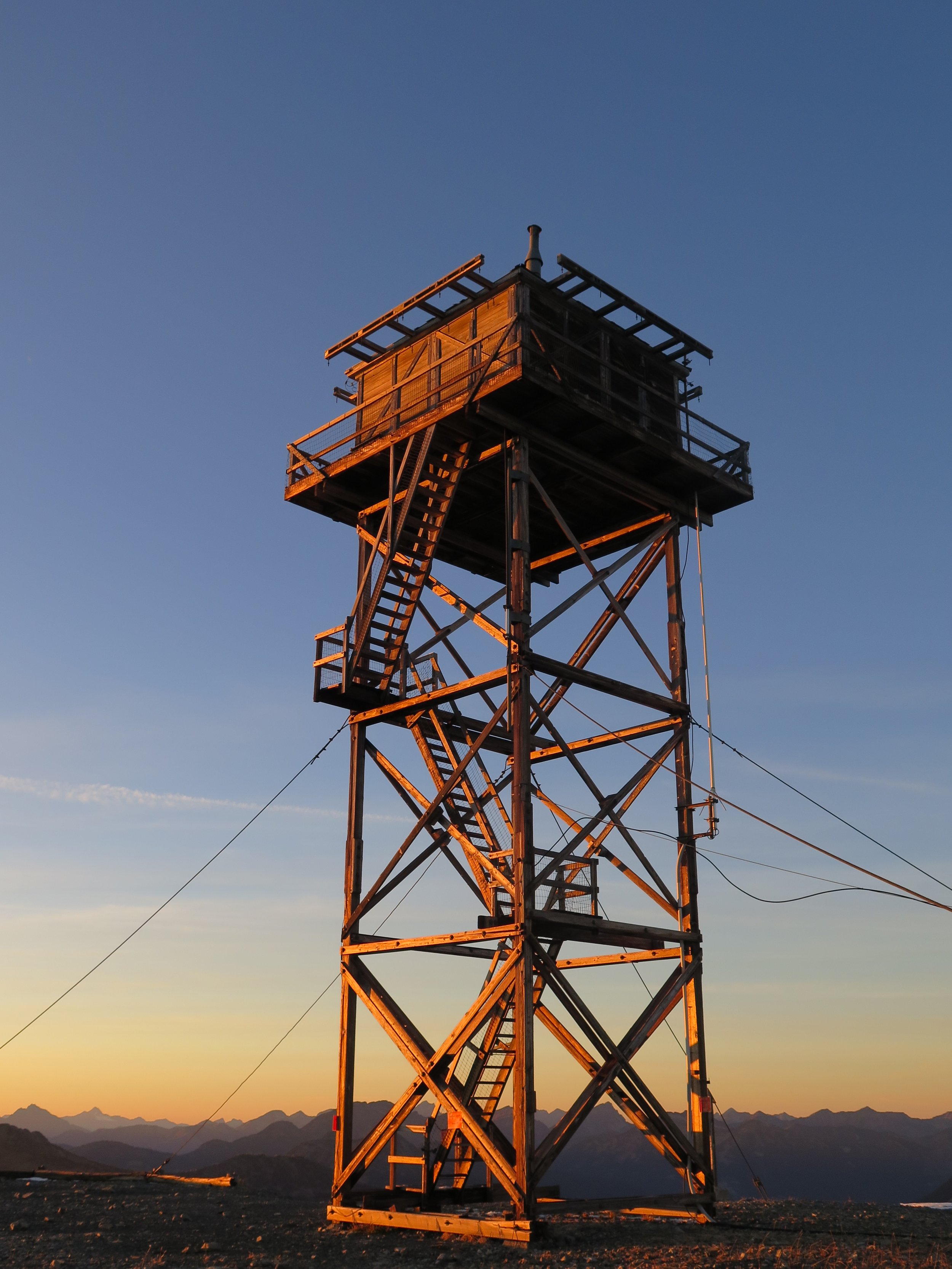
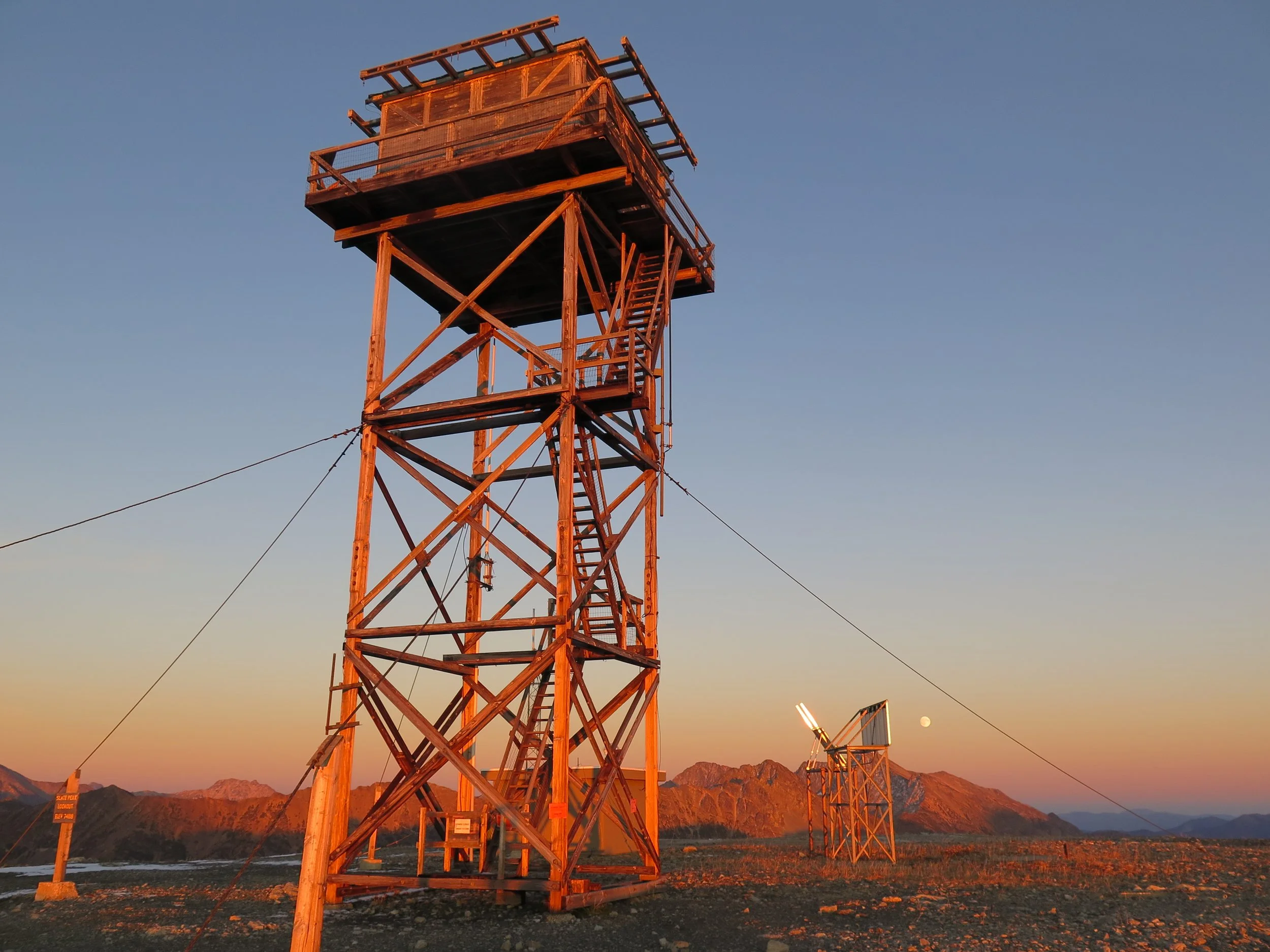
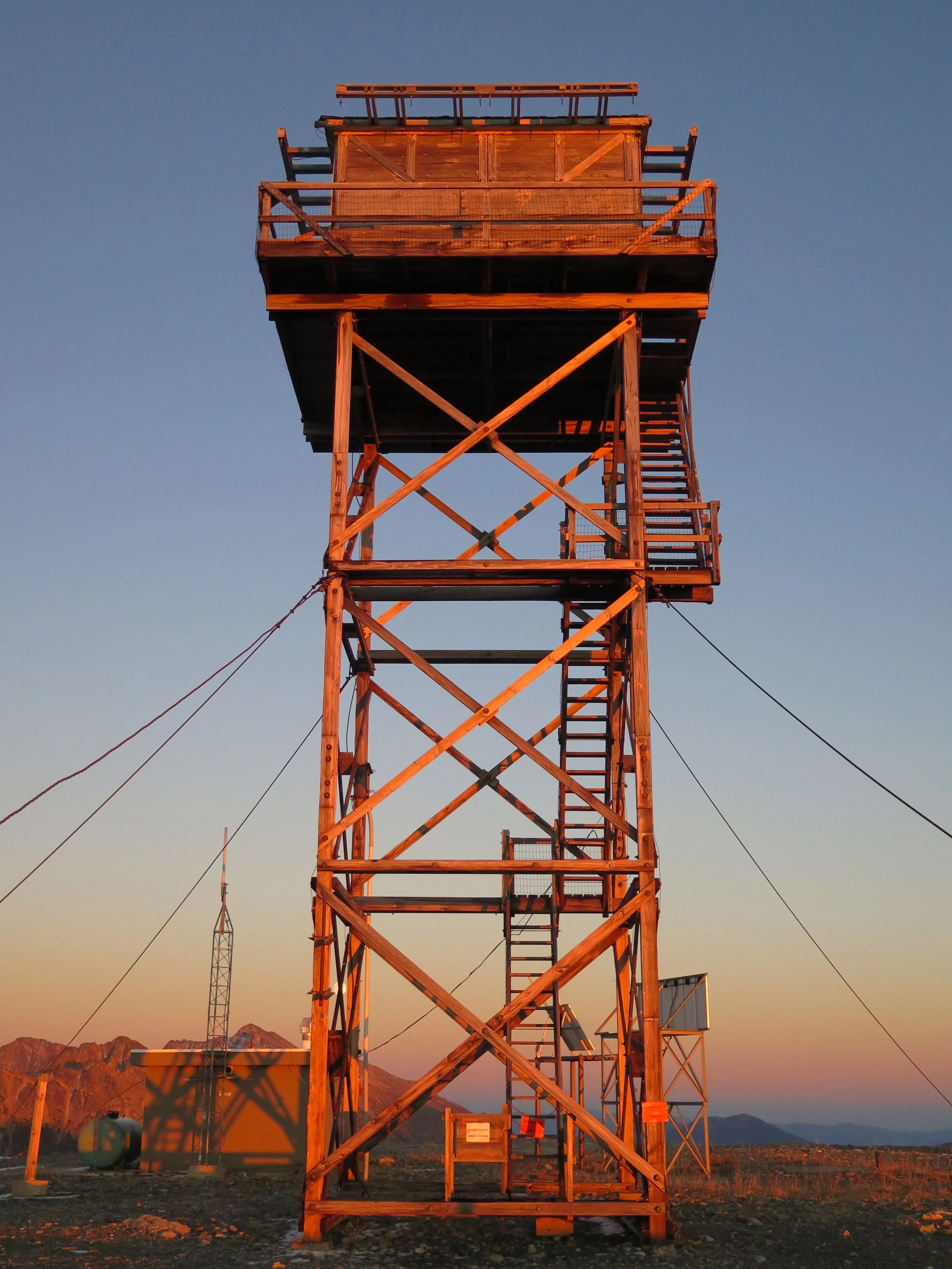
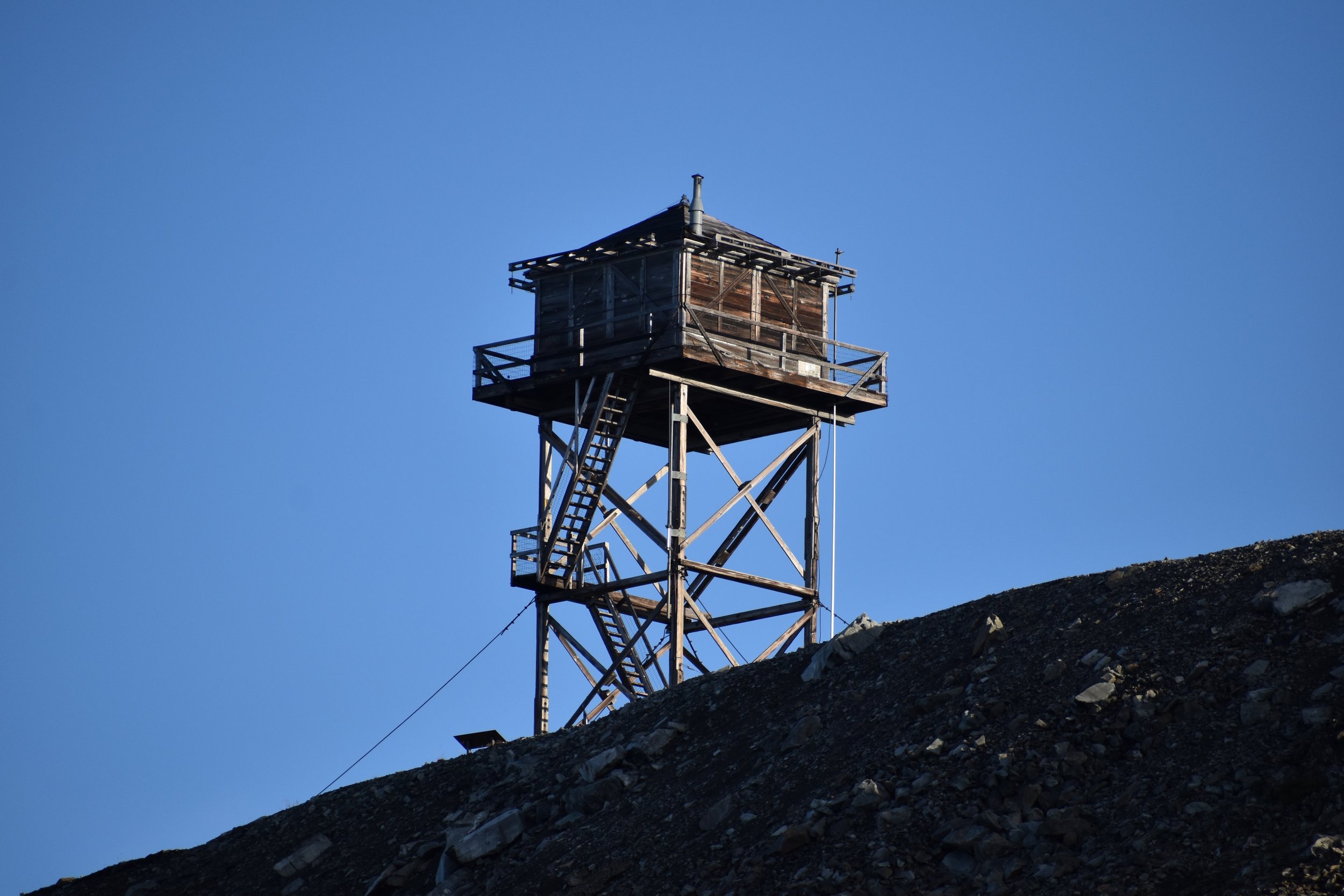
Lookout Type: 41′ L4 tower
Site Established: 1924
Current Structure Built: 1956
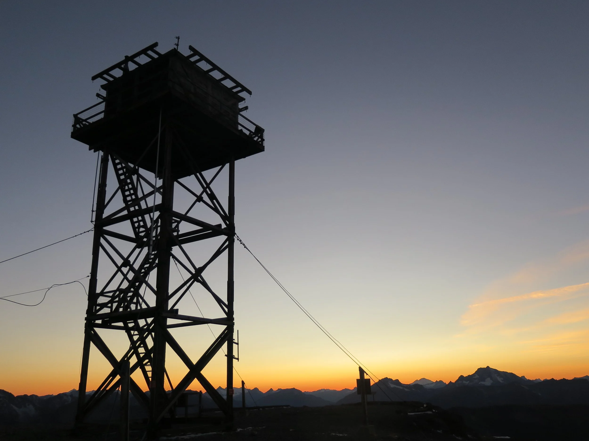
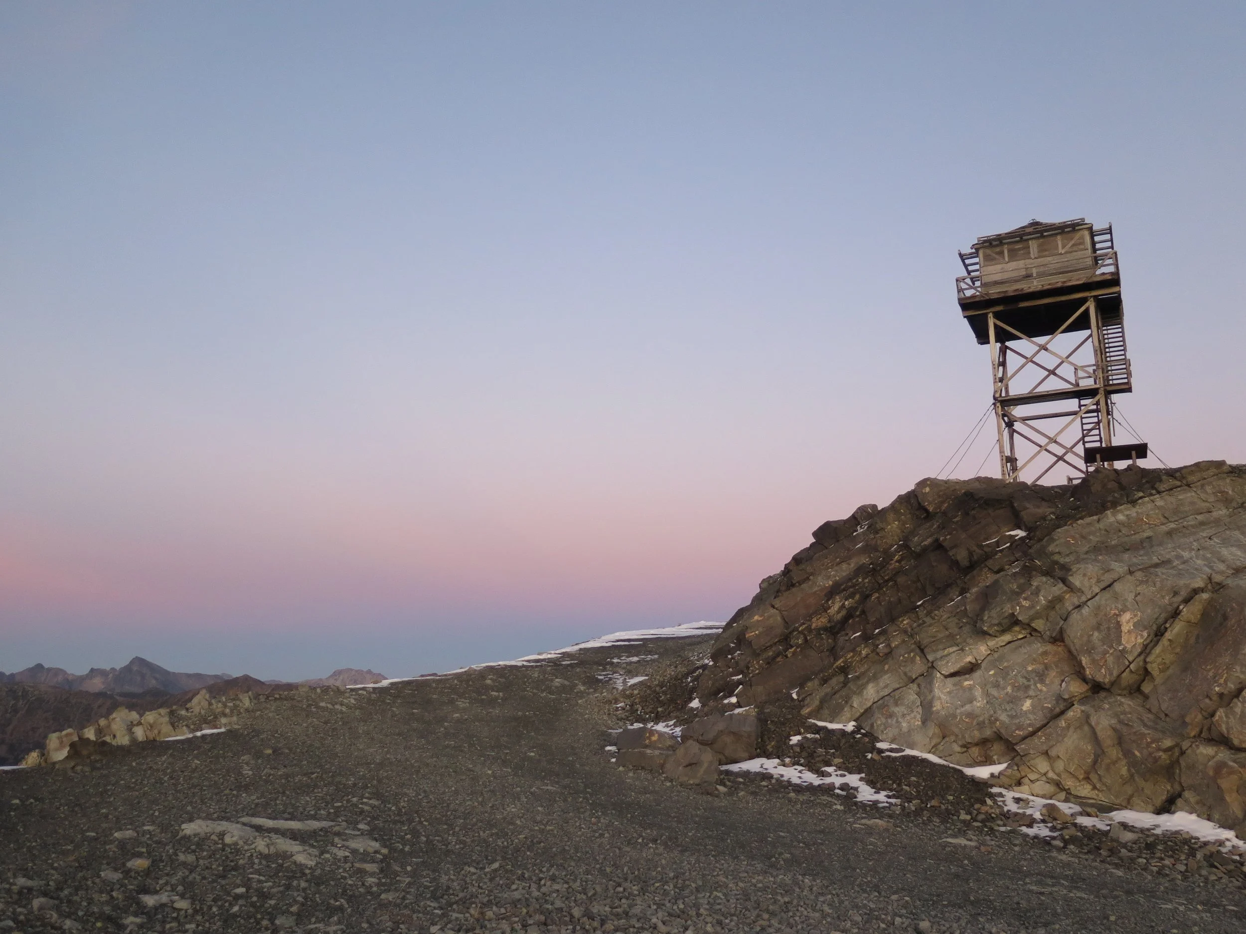
Slate Peak Lookout is the 2nd highest fire lookout in Washington State located at the end of the highest road in the State, often considered the most harrowing drive around. In 1926, the top 40′ of Slate’s summit was blasted away for a WWII radar station that was never built. From this lofty summit, the views of the North Cascades and Pasayten are truly “on top of the world” spectacular!
History
At 7,440′, Slate Peak is Washington’s 2nd highest fire lookout located at the end of the highest elevation road in Washington State. The lookout was first constructed in 1924 as a gable roof cupola, then replaced in 1954 with an L-4 ground cab that was moved from Leecher Mountain.
Two years later the Department of Defense destroyed the lookout and blasted away the top 40′ of Slate’s summit to make room for a World War II radar station that never got built. In 1956, the Forest Service rebuilt the lookout, placing it 40′ above the ground to restore the original view. The floor of the current lookout is now at the original level as the top of Slate Peak.
The lookout was used in 1994 when Goat Peak had to be evacuated due to fires and again in 1996 for monitoring the Elbow Basin fire in the Pasayten Wilderness.